InfraWorks
adsk-oxygen-trial-download-recaptcha

adsk-otfdl-mobile-user-heading

adsk-otfdl-mobile-user-text

adsk-oxygen-trial-download-product-selection-heading

adsk-oxygen-trial-download-product-selection-text

adsk-oxygen-trial-flow-introductory-header

adsk-oxygen-trial-flow-available-platforms-header

    adsk-oxygen-trial-flow-systems-requirements-text

    adsk-oxygen-trial-flow-trial-file-size-header

    adsk-oxygen-trial-flow-recommended-section-header

    adsk-oxygen-trial-flow-recommended-section-text


    adsk-oxygen-trial-flow-file-viewer-section-header

    adsk-oxygen-trial-flow-file-viewer-text
    adsk-oxygen-trial-flow-file-viewer-link-text

    adsk-oxygen-trial-flow-user-lang-os-intro-header

    adsk-oxygen-trial-flow-user-type-intro-text

    adsk-oxygen-trial-flow-business-heading

    adsk-oxygen-trial-flow-business-text

    adsk-oxygen-flow-user-os-selection-single

    adsk-oxygen-flow-user-os-selection-multi

    adsk-oxygen-flow-user-os-selection-error

    adsk-oxygen-trial-flow-user-language-text

    adsk-oxygen-trial-flow-edu-license-heading

    adsk-oxygen-trial-flow-edu-license-text

    adsk-oxygen-trial-flow-personal-user-license-heading

    adsk-oxygen-trial-flow-personal-user-license-text

    adsk-trial-phone-ver-title

    adsk-trial-phone-ver-description

    adsk-trial-phone-ver-number-label

    adsk-trial-phone-ver-method

    adsk-oxygen-trial-flow-voice-cta adsk-oxygen-trial-flow-text-cta

    adsk-trial-phone-ver-code adsk-oxygen-trial-flow-resend-cta

    adsk-oxygen-trial-flow-code-duration adsk-oxygen-trial-verify-cta

    trial-ph-ver-err-invalid-code

    adsk-oxygen-trial-flow-company-input-header

    adsk-trial-required-notice

      adsk-oxygen-trial-flow-country-selection-header

      adsk-oxygen-flow-country-selection-tooltip
      adsk-oxygen-trial-download-recaptcha

      Features

      Infrastructure conceptual design software

      With InfraWorks® civil infrastructure conceptual design software, you can efficiently lay out design options, determine project feasibility, and align on a vision with key project stakeholders earlier in the project.

      Conceptual design

      • Theme palettes

        Visually classify assets according to attributes.

      • Cross-section views

        Assess superelevation, road assembly, and cut-and-fill engineering details of your road design in cross-section form.

      • Component roads

        Design roads with curbs, lanes, shoulders. Create parametric models in Inventor and add them to the component road design.

      • Roadside grading

        Vary the slopes and the materials applied to different sections of roadside grading.

      • Roundabout design

        Easily convert an intersection into a roundabout style.

      • Component-based bridge design

        Edit bridge decks and girders independently of other bridge components.

      Context modeling

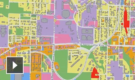
      • Video: Use ArcGIS to improve project context to achieve better designs.

        Autodesk Connector for ArcGIS

        Add ArcGIS content to InfraWorks models, create custom stylization, and use field applications. (video: 1:36 min)

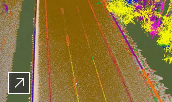
      • Zoomed-in view of a road with the Linear Feature Extraction tool selected in InfraWorks

        Generate features from point clouds

        Extract linear features from point clouds. Export linear features, vertical features, and ground grid to Civil 3D.

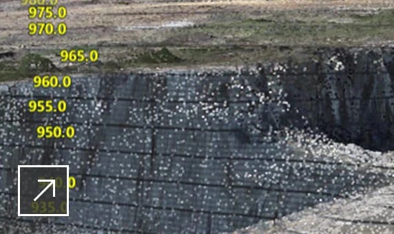
      • Model in InfraWorks featuring a mix of terrain that includes a plain and some bluffs with trees in the background

        Generate terrain from point clouds

        Build data into your model terrain.

      • View projects in context

        View projects in context of existing conditions.

      • Model existing environment

        Create a large-scale model by aggregating existing data including 2D CAD, GIS, raster, and 3D models.

      • Automated data import and model creation

        Create base models from GIS, Raster, DGN, and SketchUp.

      Analysis and simulation

      • Flood simulation

        Analyze flooding projects based on multiple inflow locations and water elevation changes over time.

      • Video: Reproduce traffic flows by simulating vehicle activity to test the behavior and improve the design of road networks

        Traffic simulation

        Analyze traffic flow, display traffic analysis results, and generate traffic simulation animations. (video: 2:55 min.)

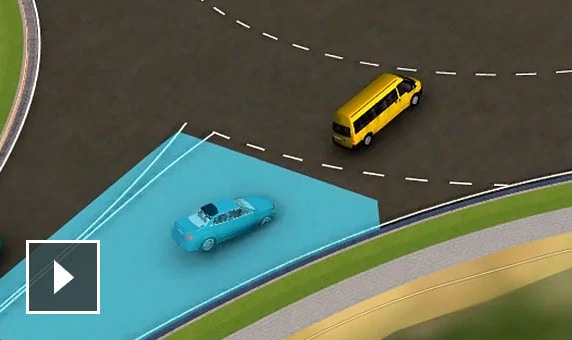
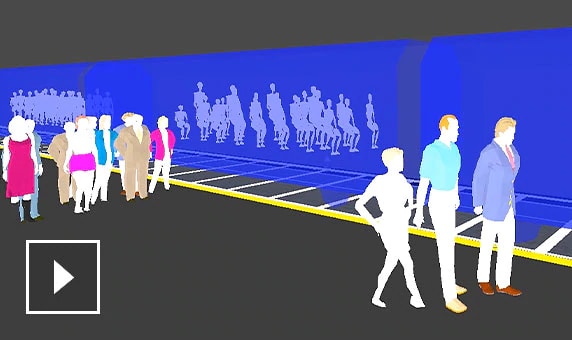
      • Video: Create realistic visualizations that let you examine many transport options and explore solutions to traffic problems

        Mobility simulation

        Create animated simulations of transit, parking, personal, and/or taxi-mode modeling. (video: 1:47 min.)

      • 2D distance and slope

        Measure the distance (horizontal and vertical) and slope between two points in a model.

      • Material quantities

        Calculate earthwork quantities on multiple selected roads, a station range, area of interest parcel, or right of way.

      • Bridge line girder analysis

        Perform a detailed analysis in the cloud.

      Visualization

      • Video: Morning-to-night time lapse featuring a commercial building development and rest area by a freeway

        Photorealistic visuals

        Create realistic images and videos that helps improve understanding of how your project will perform. (video: 14 sec.)

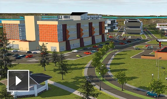
      • Video: Animation featuring a flyover of multiple commercial buildings, tree-lined roads, and parking lots

        Storyboarding and animations

        Create presentations that include snapshot views, animations, perspective views, and fly-throughs. (video: 24 sec.)