Experience more efficient workflows for surface modeling, corridor modeling, site design, storm and sanitary, and plan production and documentation with Civil 3D® civil engineering design software.
Features
Civil engineering design and documentation software
-
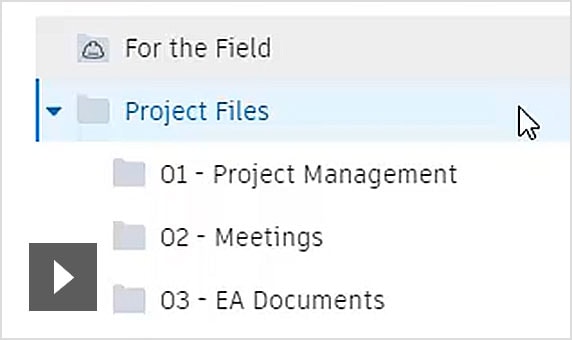
Collaboration for Civil 3D
Securely access Civil 3D files, data shortcuts, and xrefs from multiple locations and companies, all in a common data environment. (video: 2 min.)
-
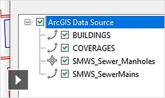
Connector for ArcGIS
Streamline the flow of data between ArcGIS and Civil 3D. Access the latest data and keep features information up to date. (video: 1:55 min.)
-
Dynamo for Civil 3D
Use the Dynamo visual scripting environment to develop routines that automate repetitive design tasks and expedites workflows. (video: 1:16 min.)
-
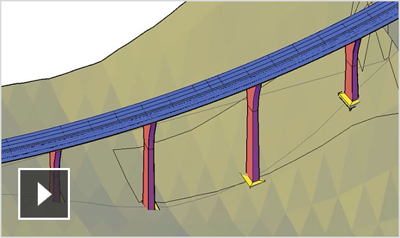
Bridge design
Coordinate workflows more efficiently across the various disciplines working on complex bridge design projects. (video: 2:44 min.)
-
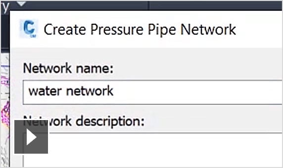
Pressure network
Use enhanced tools for more efficient pressure pipe network layout and design. (video: 2:02 min.)
-
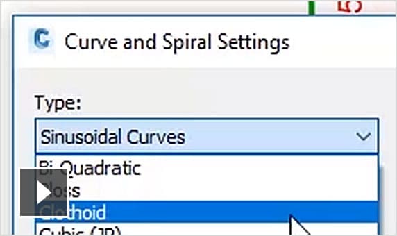
New transit and rail design features
Expanded toolkit for transit and rail design including spirals, dynamic alignments, profiles, and superelevation design. (video: 2:41 min.)
Surface modeling
Site and survey
-
-
-
Relative elevation feature lines
Obtain feature lines from a surface or relative to a surface, so feature lines update with changes to the surface.
Corridor modeling
Storm and sanitary
Plan production and documentation
-
Plan and profile sheet generation
Create plan/plan and profile/profile sheets by including multiple plan or profile views on a single sheet.
-
QTO and earthwork calculations
Extract and report material volumes and analyze quantities from materials and sectional or profile information.
-