Civil 3D
adsk-oxygen-trial-download-recaptcha

adsk-otfdl-mobile-user-heading

adsk-otfdl-mobile-user-text

adsk-oxygen-trial-download-product-selection-heading

adsk-oxygen-trial-download-product-selection-text

adsk-oxygen-trial-flow-introductory-header

adsk-oxygen-trial-flow-available-platforms-header

    adsk-oxygen-trial-flow-systems-requirements-text

    adsk-oxygen-trial-flow-trial-file-size-header

    adsk-oxygen-trial-flow-recommended-section-header

    adsk-oxygen-trial-flow-recommended-section-text


    adsk-oxygen-trial-flow-file-viewer-section-header

    adsk-oxygen-trial-flow-file-viewer-text
    adsk-oxygen-trial-flow-file-viewer-link-text

    adsk-oxygen-trial-flow-user-lang-os-intro-header

    adsk-oxygen-trial-flow-user-type-intro-text

    adsk-oxygen-trial-flow-business-heading

    adsk-oxygen-trial-flow-business-text

    adsk-oxygen-flow-user-os-selection-single

    adsk-oxygen-flow-user-os-selection-multi

    adsk-oxygen-flow-user-os-selection-error

    adsk-oxygen-trial-flow-user-language-text

    adsk-oxygen-trial-flow-edu-license-heading

    adsk-oxygen-trial-flow-edu-license-text

    adsk-oxygen-trial-flow-personal-user-license-heading

    adsk-oxygen-trial-flow-personal-user-license-text

    adsk-trial-phone-ver-title

    adsk-trial-phone-ver-description

    adsk-trial-phone-ver-number-label

    adsk-trial-phone-ver-method

    adsk-oxygen-trial-flow-voice-cta adsk-oxygen-trial-flow-text-cta

    adsk-trial-phone-ver-code adsk-oxygen-trial-flow-resend-cta

    adsk-oxygen-trial-flow-code-duration adsk-oxygen-trial-verify-cta

    trial-ph-ver-err-invalid-code

    adsk-oxygen-trial-flow-company-input-header

    adsk-trial-required-notice

      adsk-oxygen-trial-flow-country-selection-header

      adsk-oxygen-flow-country-selection-tooltip
      adsk-oxygen-trial-download-recaptcha
      adsk-otfdl-end-dl-started
      adsk-otfdl-end-dl-started-instruction

      InfraWorks
      Geospatial and engineering BIM platform for planning, design, and analysis

      adsk-otfdl-end-dl-download-now-text

      Revit
      Plan, design, construct, and manage buildings with powerful tools for Building Information Modeling.

      adsk-otfdl-end-dl-download-now-text

      Features

      Civil engineering design and documentation software

      Experience more efficient workflows for surface modeling, corridor modeling, site design, storm and sanitary, and plan production and documentation.

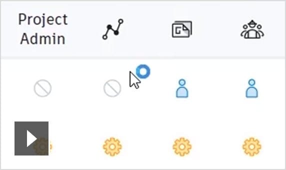
      • Video: BIM 360 lets you extend all project data to stakeholders for greater visibility and more informed decision-making

        Collaboration for Civil 3D

        Securely access Civil 3D files, data shortcuts, and xrefs from multiple locations and companies, all in a common data environment. (video: 1:59 min.)

      • Connector for ArcGIS

        Streamline the flow of data between ArcGIS and Civil 3D. Access the latest data and keep features information up to date. (video: 1:56 min.)

      • Dynamo for Civil 3D

        Use the Dynamo visual scripting environment to develop routines that automate repetitive design tasks and expedites workflows. (video: 1:16 min.)

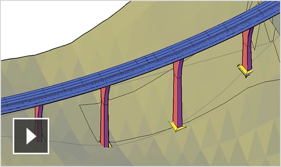
      • Video: New bridge design workflow with InfraWorks, Civil 3D, and Revit

        Bridge design

        Coordinate workflows more efficiently across the various disciplines working on complex bridge design projects. (video: 2:44 min.)

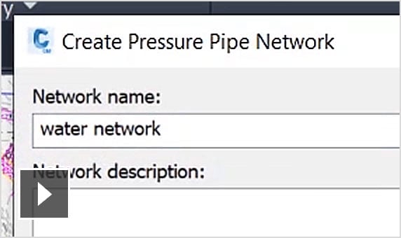
      • Video: Streamlined pressure network layout and editing

        Pressure network

        Use enhanced tools for more efficient pressure pipe network layout and design. (video: 2:02 min.)

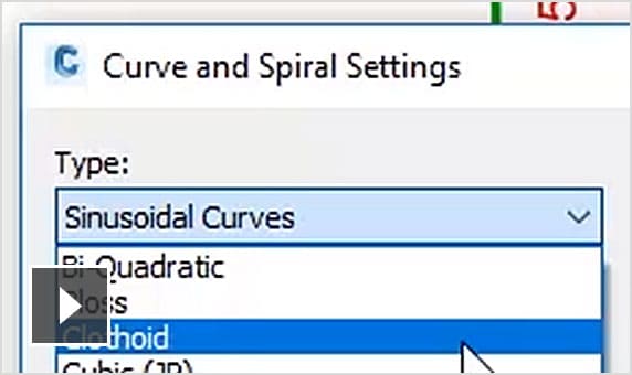
      • Video: More efficient layout and design for transit and rail projects

        New transit and rail design features

        Expanded toolkit for transit and rail design including spirals, dynamic alignments, profiles, and superelevation design. (video: 2:41 min.)

      More features

      Surface modeling

      • Point clouds

        Use and display point cloud data.

      • Surface creation from point cloud data

        Create TIN surfaces from point cloud data.

      • Design surface creation

        Use tools to create dynamic surfaces.

      Site and survey

      • Parcel design

        Automated parcel design tools.

      • Grading

        Terrain models for grading.

      • Relative elevation feature lines

        Obtain feature lines from a surface or relative to a surface, so feature lines update with changes to the surface.

      Corridor modeling

      • Corridor design

        Tools for corridor modeling.

      • Advanced roundabout design

        Bring new roundabout designs into Civil 3D.

      • Extract corridor feature line workflow

        Easily extract multiple feature lines.

      Storm and sanitary

      • Gravity pipe networks

        Tools for sanitary and storm drainage systems.

      • Storm and Sanitary Analysis software

        Dynamic models enable stormwater management.

      • Analyze gravity networks

        Measure pipes and inverts to HEC-22 2009 standards.

      Plan production and documentation

      • Plan and profile sheet generation

        Create plan/plan and profile/profile sheets by including multiple plan or profile views on a single sheet.

      • QTO and earthwork calculations

        Extract and report material volumes and analyze quantities from materials and sectional or profile information.

      • Construction documentation

        Generate annotated production plans.

      Interoperability

      • Corridor data shortcut (DREF)

        Create and share data shortcuts for corridors.

      • 3ds Max interoperability

        Create professional-quality visualizations.

      • IFC import and export

        Import and export AutoCAD solids to IFC files.