
Productivity data based on a series of studies commissioned by Autodesk to an outside consultant. The seven toolset studies compared basic AutoCAD to the specialized toolsets within AutoCAD when performing tasks commonly done by experienced AutoCAD users. As with all performance tests, results may vary based on machine, operating system, filters, and even source material. While every effort has been made to make the tests as fair and objective as possible, your results may differ. Product information and specifications are subject to change without notice. Autodesk provides this information “as is,” without warranty of any kind, either express or implied.
The Map 3D toolset is included with AutoCAD 2025
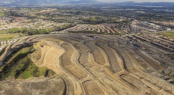
Our model-based GIS mapping software provides access to CAD and GIS data to support planning, design, and management. With the Map 3D toolset, you can:
-
Directly access spatial data using Feature Data Objects (FDO) technology
-
Directly edit geospatial data
-
Manage infrastructure systems with Enterprise Industry Models
See system requirements (US Site)

CAD using the Map 3D toolset
Map 3D toolset features
Use Feature Data Objects (FDO) technology
Work with spatial data from a variety of CAD and GIS data formats and coordinate systems.

Connect to ArcGIS
Streamline the flow of data between ArcGIS and Map 3D and keep features information up to date.

Convert data between DWG and GIS data
Perform high-fidelity data conversions using MapImport and MapExport.

Edit geospatial data directly
Edit data against GIS data sources, such as ESRI SHP, MapInfo, and Oracle with standard AutoCAD commands.

Apply coordinate geometry
Use coordinate geometry (COGO) input commands to enter accurate geometry when creating objects.

Run drawing cleanup actions
Use drawing cleanup to automate time-consuming corrections for common drafting and digitizing errors.

Use enterprise industry modules
Use intelligent application modules to efficiently manage a wide variety of infrastructure systems.

Convert data to intelligent industry models
Create and manage intelligent industry models by converting GIS data.

Apply styling and theming
Easily update styling using the style editor and use themes to display data to indicate different values.

Build topologies
Create topologies to perform useful calculations, such as identifying customers downstream from a faulty pump.

Analyze data with tools
Use robust functionalities, including buffers, overlay, and spatial queries, to analyze data.

Benefits of the Map 3D toolset
In this study, the Map 3D toolset boosted productivity by up to 60%,* bringing significant time savings to common mapping design tasks in AutoCAD.